Blue Ridge Parkway Scenic Drives and Overlooks
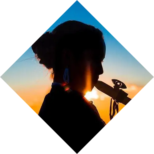
With miles of unspoiled nature, including the Cherokee National Forest, Appalachian Trail, and Nantahala National Forest, Cherokee, NC, is surrounded by natural beauty and spectacular views. Two of the United States’ most visited attractions are easily reached from Western North Carolina: the Great Smoky Mountains National Park and the Blue Ridge Parkway.
To the west, the Great Smoky Mountains National Park includes 800 square miles in Tennessee and North Carolina, winding its way around the state line. Known for its scenic beauty, the Blue Ridge Parkway is a 469-mile road that runs southwest from Front Royal, Virginia, (where it’s called the Skyline Drive) along the Blue Ridge Mountain range, ending at the southern gateway to the Great Smoky Mountains National Park near Cherokee
While there are many parking areas with scenic overlooks on the Parkway, the quality of your mountain views may vary from overlook to overlook based on the time of year and amount of vegetation. If you stop at one overlook and find overgrown trees blocking the mountains, don’t despair. Just keep driving. Fortunately, if you’re driving down the Parkway, there are so many opportunities to pull over and snap a photo that if one isn’t perfect, the next one likely will be!
Raven Fork Overlook
At milepost 467.9 you’ll find the Raven Fork Overlook. To the west is the Qualla Boundary’s Raven Fork freestone creek, which is stocked with rainbow, brown, and brook trout, Donaldson strain rainbow trout, and palomino trout. A mile downstream, Raven Fork meets the Oconaluftee River. This creek may be hard to spot from this point, but the foliage can’t be missed.

Photo by Peter Boolkah Photography.
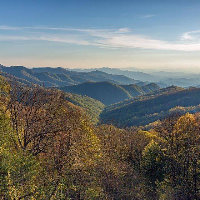
Photo by Andre Daugherty
Thunderstruck Ridge Overlook
At milepost 454.4, about 20 minutes east of Cherokee in Maggie Valley, you’re in for a beautiful landscape view. At an elevation of 4,680 feet, the Ridge lies under the overlook.
Big Witch Overlook
Named after a famous Cherokee Indian medicine man who died in 1898 at age 90, Big Witch Overlook is at milepost 461.9. Since eagle feathers were used in ceremonies, Big Witch’s job was to kill the eagle.
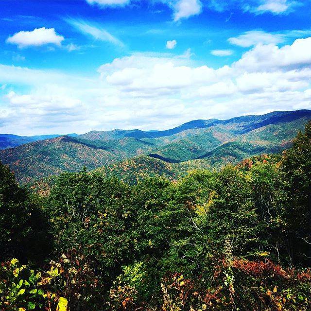
Photo by Chris Schumacher.
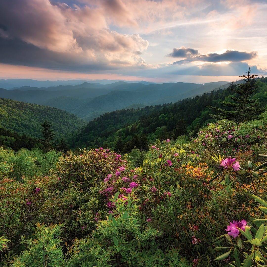
Photo by Luke Sutton Photo.
Richland Balsam Overlook
Less than an hour east of Cherokee, near Waynesville, you’ll find Richland Balsam Overlook and the highest point on the Parkway at 6,053 feet. The 1.5-mile self-guided loop leads visitors through a spruce-fir forest. Enjoy the smells of Fraser fir and red spruce. Trust us, it’s worth the drive.
Waterrock Knob Overlook
As the second highest point on the Parkway, Waterrock Knob Overlook (milepost 451.2) is worth a visit. If you’re looking for a quick hike, there is a one-mile roundtrip hiking trail to the top of Waterrock Knob, which was named after the stream where hunters and farmers collected water. Whether you’re there in time for sunrise or sunset, the circular parking lot means you can see both east and west views. Take in the grandeur of the Plott Balsam and Great Balsam mountain ranges. Grab more info (and a souvenir) at the Visitor Center.

Photo by backpack.butterfly
Stay Safe on Mountain Roads
Scenic drives are fun, but please keep safety at top of mind at all times while visiting any of the scenic drives or overlooks near Cherokee, NC. Drivers, don’t allow yourself to get distracted by the spectacular views when driving on curvy mountain roads. The overlooks are there for you to stop and enjoy the scenery and take photos so take advantage of them as often as you need! Please obey the posted speed limit, use caution when visiting overlooks, and keep a safe distance from ledges.